
India is exposed to natural and manmade disasters. Since all disasters are spatial in nature. Remote sensing role in emergency mapping is acting as a decision support tool. Decision-making is also possible through the analysis of different Geographic and Information System (GIS) layers. Presently, socioeconomic and geospatial data are useful for the management and planning of disasters as well as for tackling disastrous conditions. Various departments and agencies are stakeholders incorporating GIS and remote sensing role in emergency mapping. Also, GIS, RS & GPS is useful in disaster management applications & for decision-making. The evolution of computer technology and the availability of hardware is useful for the rapid expansion of GIS in both disaster research and practice.
GIS is helpful for hazard zone mapping and during emergency conditions mitigation of people can easily be possible using these maps. GIS and RS are much beneficial in mitigating strategies and preparedness plans. Real-time geographic data are improving the allocation of resources for response. Remote sensing role in emergency mapping is much useful in the modeling of disaster risks and human adaptations to hazards. Also, it is providing a decision support system in disaster management.
Also read: How Policy Changes Have Fuelled The Indian Logistics Sector
Disaster Management System
Mitigation: Emergency is the subject of dealing with and avoiding risks. It is a discipline that is entailing steps taken to contain or reduce the effects of an anticipated or already occurred disastrous event.
Preparedness: It is how we are changing behavior to limit the impact of disaster events on people.
Response: An effective plan for public health and other personnel during a disaster would highlight activities. For minimizing the effects of the catastrophe.
Disaster Recovery: The goal of the recovery phase is for restoring the affected area to its previous state. Recovery efforts are concerned with decisions and issues that must be made after immediate needs are addressed.
Furthermore, disaster management is done by following the steps
- Planning and Analysis
- Situational Awareness
- Data Management
- Field Operations
Planning and Analysis
The remote sensing role in emergency mapping is the most complete information system for modeling, analyzing spatial data, and displaying community vulnerability. When we are identifying hazardous locations with critical infrastructure. Subsequently, processed GIS Models are supporting the determination of event impact and necessary mitigation requirements. Preparedness is crucial when a disastrous event occurs. Therefore, an analysis of risks and hazards is beneficial in an emergency management program.
Situational Awareness
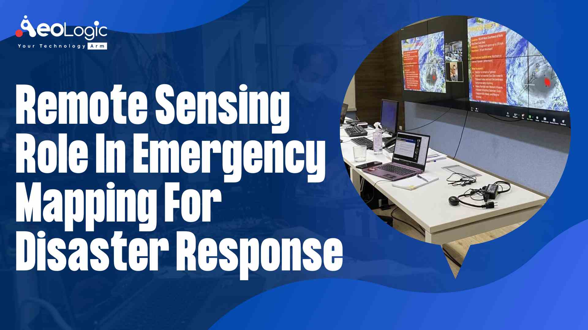
Disaster and emergency management in situational awareness is an important thing. Remote sensing role in emergency mapping techniques is playing a vital role to provide locational information about the event, that is. Where does the event is happening and what happens exactly in real-time. GIS map interfaces are important in handling emergency conditions.
Data Management
In GIS, the integration of information from other sources is probable. Accurate cataloging of GIS data is providing useful information during emergency conditions.
Field Operations
Field data is very vital in GIS applications. And, Mobile GIS is providing crucial information. Field teams will be capturing information and sending it back to the user. So, ground information is useful for recognizing actual event conditions. Then transmitting new data to operation teams in the field (where the disaster occurs), so they have the information possible for protecting lives and delivering safety to people. Whether it’s a response or recovery phase, Mobile GIS is providing the right information.
Also read: How RFID Tagging Solutions for Ammunition Will Help the Soldiers
Important objectives of GIS database generation are,
Disaster managers from different states, cities and village levels are using GIS databases for disaster planning.
- Planning and preparedness for disasters
- Forecasting and early warning of a disastrous incident
- For relief management, rescue operations, and projects
GIS database with various themes is beneficial to disaster managers in the decision-making process when catastrophic events occur.
Conclusion
Hazard zones related to flood plains, coastal inundation and erosion, and active faults can be recognized using remote sensing images to aid risk reduction initiatives. Remote sensing role in emergency mapping is used to study the consequences of climate change, such as changes in land cover and use. Satellite imagery may be used for tracking these effects on a worldwide scale. Although looking towards the widespread application of remote sensing. Our goal is for providing a synergistic overview of the application of remote sensing images in natural hazards and disaster management, specifically caused by climate change.
Contact us for elevating your business!
FAQs
How disaster management is using remote sensing?
Remote sensing is helping in assisting risk reduction initiatives. Through the identification of hazard zones associated with flood plains, coastal inundation and erosion, and active faults. It is verifying hazard models by measuring the location and magnitude of actual events.
Can remote sensing track natural disasters?
Remote sensing is the science of acquiring information about the Earth using remote instruments, such as satellites. Which is inherently beneficial for disaster management. Satellites are offering accurate, frequent, and almost instantaneous data over large areas anywhere in the world.