Remote Sensing Role in Emergency Mapping for Disaster Response
November 10, 2022
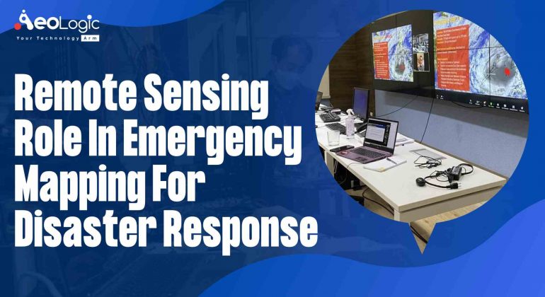
India is exposed to natural and manmade disasters. Since all disasters are spatial in nature. Remote sensing role in emergency mapping is acting as a decision support tool. Decision-making is also possible through the analysis of different Geographic and Information System (GIS) layers. Presently, socioeconomic …
-
Aeologic Technologies is a dynamic, solution and value driven technology company.We position ourselves as a new generation cutting edge technology company. We work creatively to enable businesses with leading technologies and solutions.
CALL US NOW : +91-120-3200058 , +91-120-3200059
©AeoLogic 2024. All rights reserved.